Videography and Photography
CESTA offers an extensive array of aerial videography and photography services utilizing state-of-the-art drone technology. Our services cater to various industries and applications, including highway video surveys, topographic mapping, road alignment surveys, railway track inspections, riverbank assessments, and construction site documentation. Equipped with advanced drones and telemetry technology, we capture high-quality aerial footage and images with precision and detail.
Our aerial videography and photography services provide comprehensive telemetry data, offering valuable insights into the surveyed locations. This telemetry data includes directional information, speed, kilometres readings, distance from the start point, time stamps, and chainage details. By combining this telemetry data with the captured video footage, we offer a holistic view of the surveyed area, enabling clients to analyse and interpret the information effectively. Whether it's monitoring highway conditions, assessing construction progress, or conducting infrastructure inspections, our aerial videography and photography services deliver actionable data to support informed decision-making and project management.
Highway Video Survey with telemetry data
Aerial Video to Topographic Map
Road New Alignment Video Survey with telemetry data
Railway Track Video Survey with telemetry data
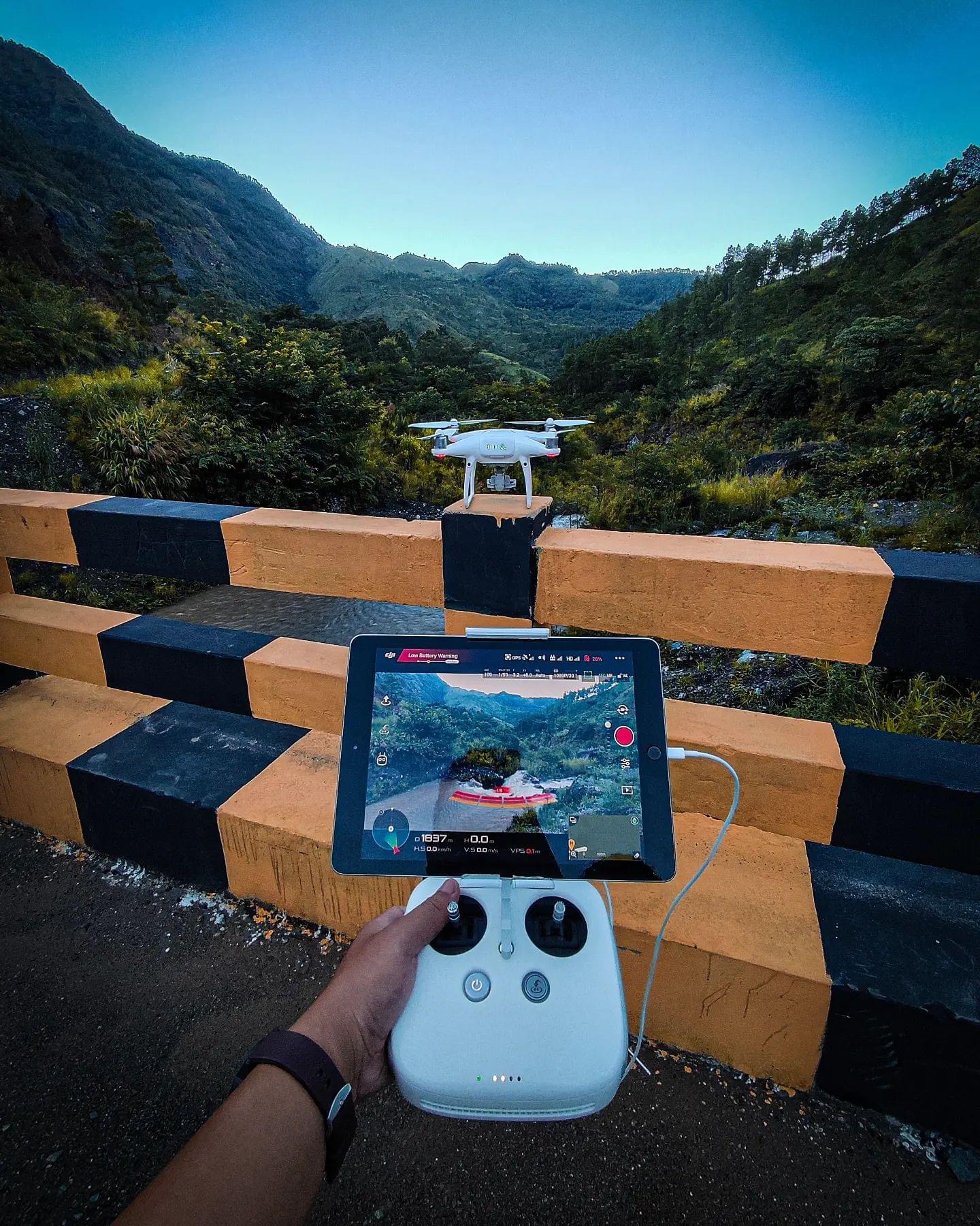
Riverbank Video Survey with telemetry data
Construction Site Aerial Photography and Videography